
Maps Venezia invites you on an extraordinary cartographic journey through the captivating city of Venice. From ancient nautical charts to modern masterpieces, Venetian maps have played a pivotal role in shaping our understanding of this unique urban landscape.
Prepare to embark on an exploration of the unique techniques, styles, and historical significance of Venetian cartography, as we delve into the fascinating world of maps venezia.
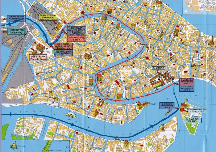
Venetian Cartography
Venetian cartography flourished during the Republic of Venice’s maritime and commercial dominance, producing some of the most significant maps in history.
Early Venetian charts, known as “portolani,” were practical navigational aids for sailors, featuring coastlines, ports, and hazards. Notable cartographers like Pietro Vesconte and Grazioso Benincasa created highly detailed portolani that influenced later mapmaking.